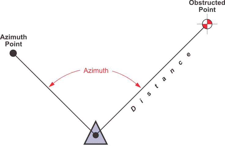
An offset must, of course, stand far enough away from the source of multipath or an attenuated signal to be unaffected. However, the longer the distance from the originally desired position, the more important the accuracy of the bearing and distance between that position and the offset becomes. Recording the tie between the two correctly is crucial to avoid misunderstanding after the work is completed. Some receivers allow input of the information directly into the observations recorded in the receiver or data logger. However, during a control survey, it is best to also record the information in a field book. Offsets in GPS/GNSS control surveying are an instance where conventional surveying equipment and expertise are necessary. Clearly, the establishment of the tie requires a position for the occupation of the instrument, i.e. a total station, and a position for the establishment of its orientation, that is, an azimuth. It is best to establish three intervisible rather than two points—one to occupy and two azimuth marks. This approach makes it possible to add a redundant check to the tie. The positions of these two, or three, points may be established by setting monuments and performing static observations on them all. Alternatively, azimuthal control may be established by astronomic observations.